Welcome


ThermoGIS is a public, web-based geographic information system that displays the regional potential of geothermal energy in the Netherlands using a number of subsurface maps. Geothermal energy is an amalgamation of the Greek 'geo' (earth) and 'thermos' (heat) and is also known as geothermal heat. It is a renewable energy source, which is not weather or seasonal dependent.

The main goal of ThermoGIS is to support industry and governments in developing geothermal heat extraction from the Dutch underground. Do you want to use geothermal heat and/or find out where geothermal energy is promising? Are you interested in the national geothermal potential? ThermoGIS can help.

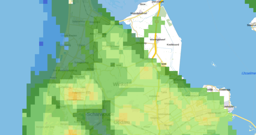
economic potential overview
Economic potential overview

ThermoGIS is being developed by the Geological Survey of the Netherlands, part of TNO (TNO-GSN). For the development of ThermoGIS subsurface knowledge and data, available through NLOG, is used. ThermoGIS is constantly being updated, extended and improved when en where necessary. Read all about the new developments here.

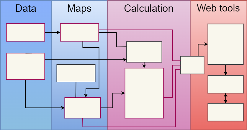
ThermoGIS is unique in the Netherlands and abroad. It translates geological data and knowledge into a model of the subsurface. It shows maps of the depth, thickness, permeability and temperature of rock layers, from which geothermal heat could potentially be extracted. The geothermal potential was calculated using a techno-economic calculation module which takes into account both technical (how much heat can be produced) and economic aspects (what does it cost).

The geothermal potential maps of the Netherlands can be viewed using the Mapviewer (see the Tips & tricks page for help navigating the Mapviewer).

Among other things, the potential maps show what the achievable flow rate can be, but also the temperature of the production water, or the geothermal capacity. Finally, they indicate what, approximately, the costs are, compared to the price of grey energy ("SDE basisbedrag").

The Mapviewer's 'Calculation tab' allows the geothermal potential to be calculated for a specific location. Key parameters can be adjusted to see their impact on the calculation. The Technical Information page explains how the geothermal potential maps were created. The maps are publicly available and can be requested here.

Preconditions


ThermoGIS shows only those strata with real potential for geothermal energy. The natural properties of these strata, also known as aquifers, are sufficiently favourable to extract water. Mapping of strata depends partly on data availability and data density. It is therefore possible that certain layers are not included in ThermoGIS because not enough is known about them. The maps in ThermoGIS are mapped and modelled on a regional scale. Locally, the values shown may therefore differ from reality.

Once new data become available, as for instance from the SCAN programme, the maps may change. GDN-TNO aims to regularly update the maps in ThermoGIS.